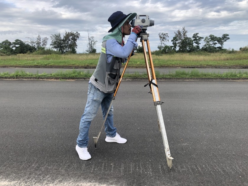
Chevron Terminal, Sihanoukville, Cambodia
Topographic survey services for the extension of a terminal.
Precision data capture and spatial intelligence for informed decisions.
We provide accurate surveying and mapping services that form the foundation of successful projects. Using advanced geospatial technologies, we collect, process, and analyze spatial data to support planning, design, and construction. Our expertise ensures that stakeholders have reliable geographic information for optimal decision-making and efficient resource management.
Topographic survey services for the extension of a terminal.

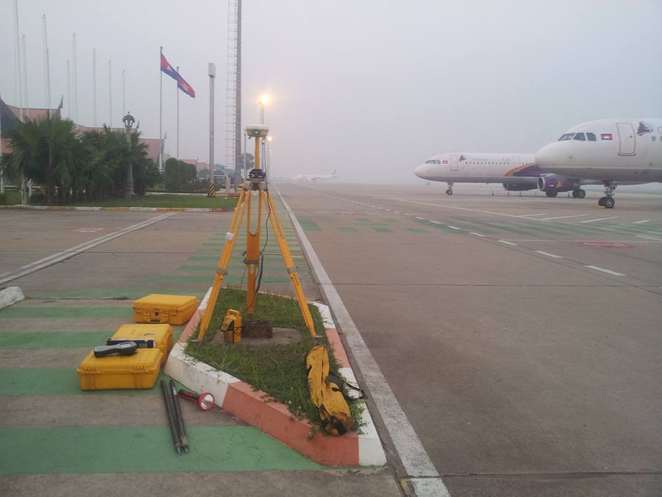
3D Laser Scan and development of an as-built 3D surface model for new International Airport